Aharon wrote:
Thanks Tim,
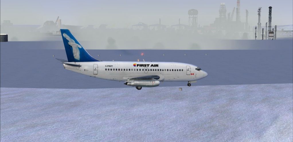
Can you e-mail me the download for this cool 10,000 ft ice runway scenery with cool oil fields in background please? Do you have your own website with download facilities?
Will your scenery be recognized by GPS in FSX and FS2004 (FS9), please?
Thanks,
Aharon
At current she is FSX only, my Fs9 got lost on the way from Iqaluit to Texas in the transfer and move, darn moving contractors lol.Im using my RCAF Log book and flight reports with Environment Canada for Airport data. historically a 10000ft Rwy was only used about 15 times and was extended from the current 4382Ft. That's pretty typical to increase size of Rwy, as hard winter sets in allowing a extension. Otherwise about 9 moths she avg 4382ft give or take a few feet. Now in Fs where talking another critter Landclass and mowing a hill and flushing it. Im gonna see if I can get it to 10000Ft. Typically a 737-200C can land on as little as 3000ft and get out. It's done at CDK2 Diavik all the time and also many other ice strips. The RW challenge is getting Ice conditions and spotting soft area's from the air

Nothing worse then sinking the nose of a 737. The scenery does show on GPS and I will most likely will put the scenery on my Arctic FTP and Avsim.